Aerial Inspections
Cost-effective Surveying for the Utility Industry
Our drone technology efficiently and accurately surveys utility infrastructure, so you can make more informed decisions on planning and maintenance.
What We Do
Gather accurate data
Using drones for data collection results in detailed, accurate and high-resolution data that can help you plan and execute your utility construction project effectively.
Survey utility infrastructure and terrain
Drones capture data on power lines, substations, and transmission structures. They are also beneficial for vegetation management, infrastructure inspections and environmental monitoring.
Operate drones with safety and expertise
Our team holds FAA Part 107 certification and has extensive experience in UAS operations and regulatory requirements, ensuring compliance and operational excellence.


lidar
Drones equipped with LiDAR provide detailed 3D models of terrain and infrastructure, aiding in accurate planning and maintenance.

photogrammetry
Using drones for photogrammetry generates high-resolution aerial imagery for mapping and monitoring utility assets, offering detailed visual data.

GIS Integration
Drone data integrates with GIS systems, providing valuable insights for asset management and decision-making, enhancing the overall effectiveness of utility management.
Aerial Inspections vs. Traditional Methods
Rapid deployment of drone services offers a cost-effective alternative to traditional surveying methods, reducing the time and expense associated with manual surveys.
Advantages of Aerial Inspections

- Speed: Drones can cover large areas quickly, reducing the time and resources needed for surveying.
- Safety: Drones can survey areas that are difficult or dangerous for human surveyors to access.
- Cost: Drones require less man-power and less time than traditional methods, reducing overall cost.
- Quality: Drones equipped with LiDAR sensors can capture high-resolution aerial imagery and detailed 3D models of terrain and infrastructure.
- Fewer limitations: LiDAR sensors can capture data using thermal imaging, so clouds and foliage cover is not an issue.
Limits of Traditional Methods
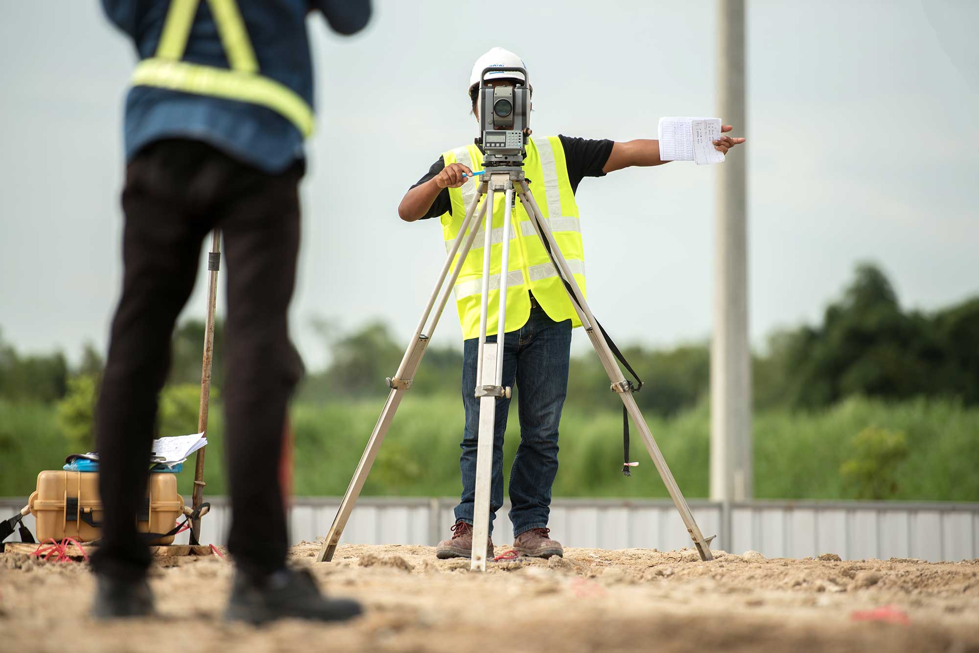
- Time-consuming: Surveyors work on foot to collect data, then process with software.
- Safety: Traditional methods can be dangerous to humans if the terrain is remote or hazardous.
- Cost: The time and man-power required for traditional methods result in a higher cost, particularly when covering large areas.
Want cost-effective and highly detailed surveys? Let’s talk about an aerial inspection.
Trident’s drone operators are ready to help you get precise data, fast. Get in touch using our contact form and let us know what you’re looking for. We’ll get you in contact with the right person.
Contact Us
Is a partnership with Trident Industries right for you? Contact us to learn more about how our expertise and quality services can help you facilitate lasting growth and progress.